
Aerial Kinetics
Industries We Support

Site Surveying & Progress Monitoring
As-Built Documentation
Earthworks & Volume Calculation
Safety Inspections
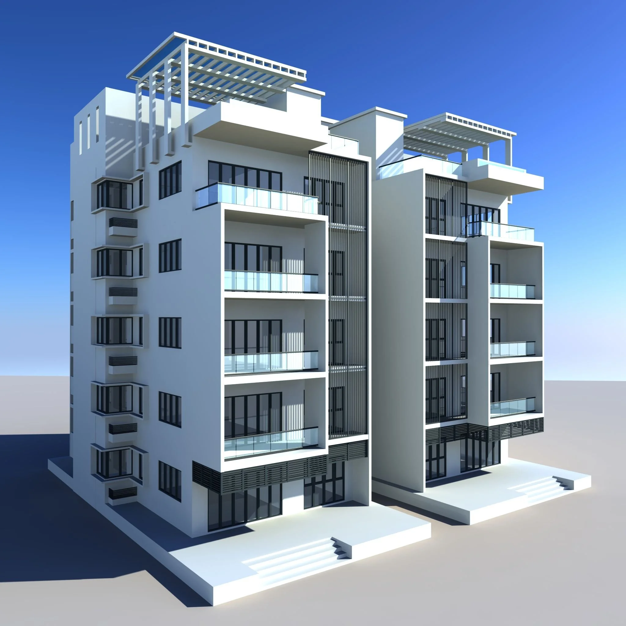
Construction & Infrastructure
Marketing & Virtual Tours
Land Development Planning
Roof & Building Inspections
Real Estate & Property Development
Site Surveying & Progress Monitoring
As-Built Documentation
Earthworks & Volume Calculation
Safety Inspections
Agriculture & Forestry
Stockpile Management
Blast Planning & Safety Inspections
Mine Site Mapping
Government and Regulatory Compliance
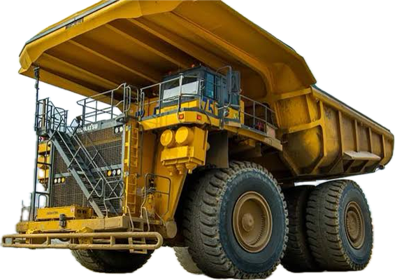
Mining & Quarrying

Power Line & Wind Turbine Inspections
Solar Farm Planning & Monitoring
Pipeline Monitoring
Government and Regulatory Compliance
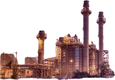
Energy & Utilities
Site Surveying & Progress Monitoring
As-Built Documentation
Earthworks & Volume Calculation
Safety Inspections
Environmental

Damage Assessment
Risk Analysis
Fraud Prevention
Insurance & claims


Accident & Crime Scene Reconstruction
Search & Rescue
Border & Perimeter Surveillance
Security

Digital Archiving
Site Documentation
Erosion & Damage Monitoring
Intrusion Detection
Archaeology
Drones provide unparalleled efficiency, safety, and precision, eliminating the need for manual inspections in hazardous or time-consuming areas. With advanced photogrammetry and real-time monitoring, they capture detailed data faster and more accurately than ever before. Reduce labor costs, increase productivity, and gain powerful insights—all while staying safe on the ground. Let drones elevate your work to new heights!
Let the Drones handle it for You
Services we offer
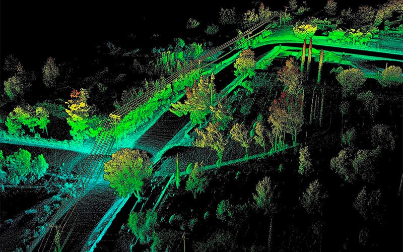
Unlock precise, high-resolution aerial mapping with our cutting-edge drone technology. We provide accurate georeferenced imagery and topographic maps for land surveying, construction, and urban planning. Our drone-based mapping reduces fieldwork time, enhances decision-making, and delivers cost-effective, real-time data. Whether you need detailed orthomosaics, contour maps, or site analysis, our services ensure precision and efficiency. Elevate your projects with our expert aerial mapping solutions.
Bring your projects to life with our high-accuracy drone-based 3D modeling. We create detailed digital twins of landscapes, buildings, and infrastructure using advanced photogrammetry and LiDAR. Perfect for construction planning, real estate visualization, and industrial site analysis, our models provide unparalleled insights and precision. Reduce costs, improve efficiency, and make data-driven decisions with our professional 3D modeling services. Let us transform your vision into reality.
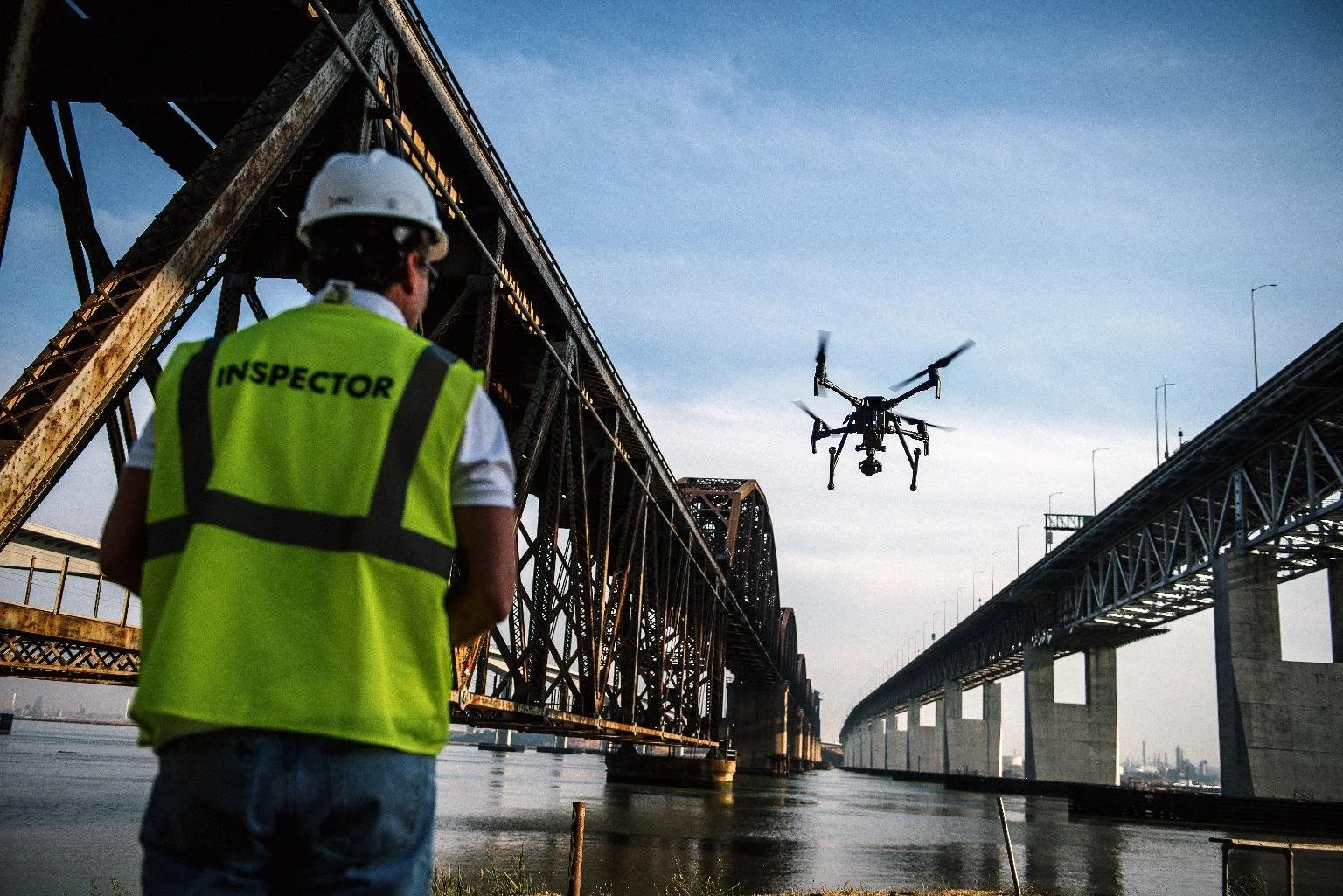
Enhance safety and efficiency with our expert drone-based aerial inspection services. We provide high-resolution imagery and thermal analysis for power lines, bridges, pipelines, wind turbines, and industrial assets. Our inspections detect defects, corrosion, and structural weaknesses—reducing downtime and ensuring compliance. With fast, cost-effective, and detailed reporting, we help you stay ahead of maintenance issues. Minimize risks and maximize operational efficiency with our cutting-edge aerial inspection services.
Our Ethos
At Aerial Kinetics, we are committed to revolutionizing data acquisition through cutting-edge drone technology. Accuracy, efficiency, and innovation drive everything we do. We empower industries with high-resolution aerial mapping, precision 3D modeling, and advanced aerial inspections—delivering actionable insights that enhance decision-making and efficiency. Safety and sustainability are at our core, reducing risks while minimizing environmental impact. Our expert team ensures reliable, cost-effective solutions tailored to your needs. We believe in pushing boundaries, leveraging technology, and providing unmatched service quality. Partner with us to elevate your projects and make smarter, data-driven decisions with confidence.

Contact Us
Interested in working together? Fill out some info and we will be in touch shortly. We can’t wait to hear from you!